The Indian Express
Explained: Amid China-Nepal tensions, how Uttarakhand is upgrading defence infra along border
Uttarakhand shares a 350-km border with China and a 275-km boundary with Nepal. Five of the state’s 13 districts are border districts.
by Lalmani VermaIn the context of ongoing tensions and territory issues with China and Nepal, the Uttarakhand government, along with the defence forces, has taken measures to strengthen infrastructure along its international border.
In recent weeks, the state government has taken several major decisions that will help strengthen operations of both the Army and Air Force in the border areas of the hill state.
Why Uttarakhand matters
Uttarakhand shares a 350-km border with China and a 275-km boundary with Nepal. Five of the state’s 13 districts are border districts. Chamoli and Uttarkashi share boundaries with China, whereas Udham Singh Nagar and Champawat have boundaries with Nepal.
https://images.indianexpress.com/2020/08/1x1.png
Pithoragarh is strategically very sensitive as it has boundaries with both China and Nepal.
Radar and tactical airfields
In the recent development, the Uttarakhand government has agreed to provide land to the Indian Air Force (IAF) to set up air defence radars in three districts bordering China – Chamoli, Pithoragarh, and Uttarkashi. The IAF has also proposed to develop a new Advanced Landing Ground to facilitate its activities in the hill areas.
Air Marshal Rajesh Kumar, AOC-in-C, Central Air Command, had a detailed meeting with Chief Minister Trivendra Singh Rawat in Dehradun on Friday (September 11) on the proposals and the requirement of land.
It was decided that the government and the IAF would nominate nodal officers who would work together to identify land for these facilities.
A government official said the Advanced Landing Ground in Uttarakhand would be useful for refuelling of aircraft, and for loading and unloading of ammunition.
According to a release from the state government, Air Marshal Kumar said during the meeting that facilities of radar and airstrips at appropriate sites in Uttarakhand were necessary in view of the current circumstances.
Separately, the state cabinet earlier this month approved a proposal for the expansion of a helipad at the Kedarnath shrine in Rudraprayag district to make it suitable for operating the IAF’s Chinook multi-mission choppers. These advanced machines require a helipad with an area of more than 5,000 sq m for safe landings and take-offs.
Filling gaps in telecom infra
The Uttarakhand cabinet has approved an amendment in the state’s information technology (IT) policy to provide incentives of up to Rs 40 lakh to facilitate private telecom companies to install towers in “dark villages” in which telecommunication facilities are unavailable at present.
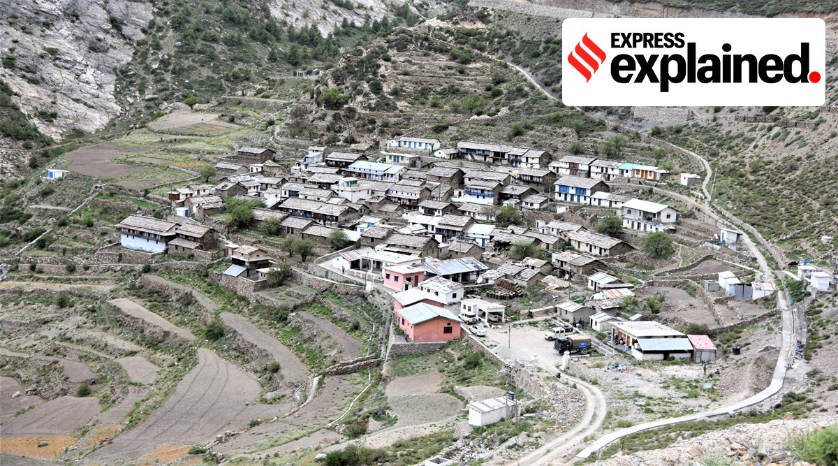
A total 438 “dark villages” have been identified in Uttarakhand, where no telecom service provider (TSP) or Internet service provider (ISP) extends services. These villages are mostly located along the state’s border of China and Nepal, government sources said.
“A population of around 25,000 in over two dozen dark villages in my constituency lack telecommunication connectivity,” Bishan Singh Chuphal, veteran state BJP leader and four-time MLA from the Didihat Assembly constituency (in Pithoragarh district, under Almora Lok Sabha constituency) bordering Nepal, said.
“Some people use Nepalese SIMs, which is not safe. Having telecom facilities here is extremely important for reasons of security. The government’s move to facilitate telecom companies is important strategically,” Chuphal said.
Also, villagers in border areas have traditionally acted as the eyes and ears of the defence forces, and telecommunications are a force multiplier in this regard.
Roads through a national park
In June this year, the Uttarakhand State Wildlife Advisory Board gave the go-ahead to transfer over 73 hectares of forest land in Gangotri National Park in Uttarkashi district for the development of roads totalling 35.66 km in length.
The government said in a statement that the Board had agreed to send the proposals to the National Wildlife Board because the construction of these routes through the national park was “very important for national security”.
A senior official from the state Forest Department said that at present, ITBP and Army personnel have to walk 15-25 km from the starting points of these proposed stretches of road to reach the border. State Forest Minister Harak Singh Rawat said the roads will be in the national interest, and very important from the strategic point of view.